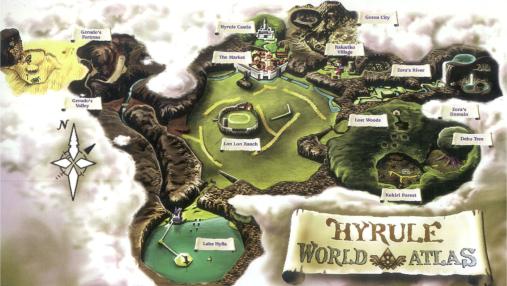
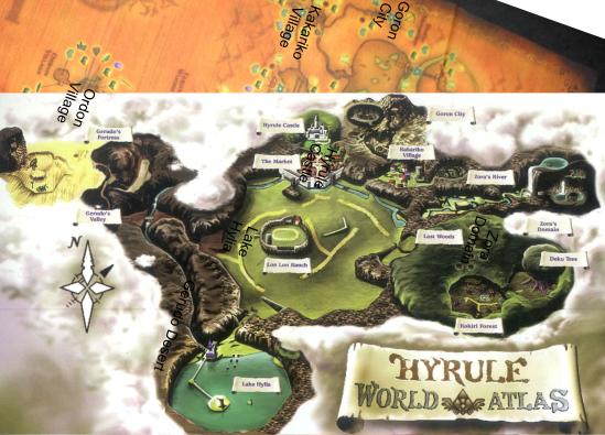
First we have the OoT world map.
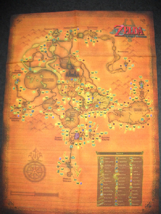
Then we have the TP world map.
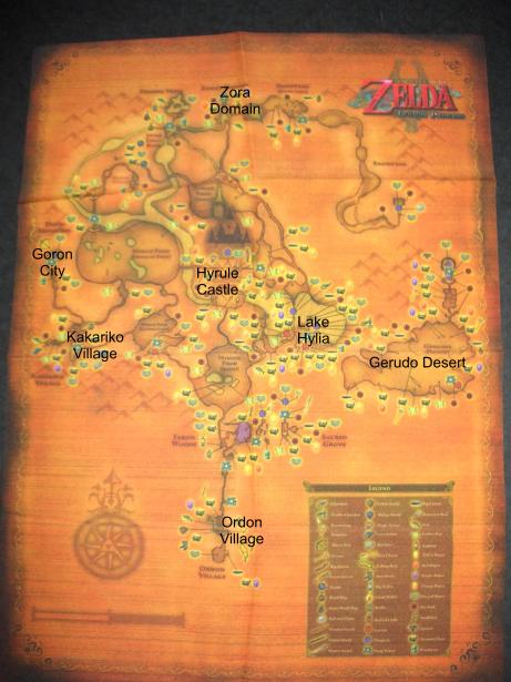
Put some names on the TP map.
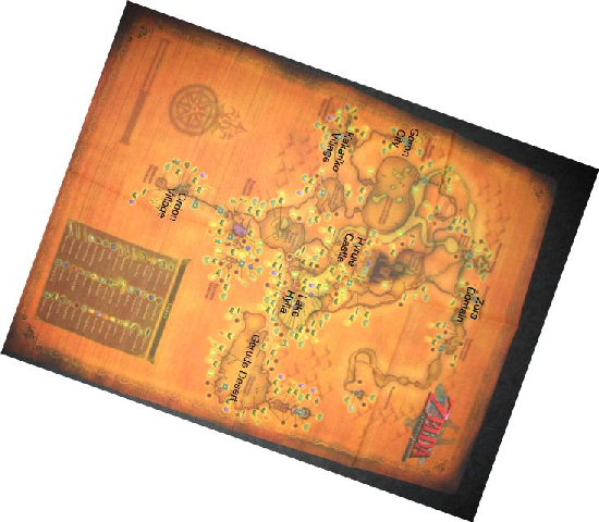
Rotate it about 130 degrees.
Put the OoT world map ontop of the TP map, with focus on the Hyrule Castle.
Remove the TP map
And finally make some adjustments.
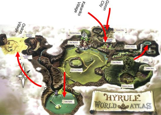
As you can see there are alot of similarities of the two maps, but there is more to it.
You know the brigde you cross to get out of ordon village? It may be the bridge you cross to get to gerudo desert in OoT, as they are in similary places. Meaning that Gerudo Fortress is just right next to Ordon Village.
And if that is the case. Why can't gerudo desert stretch into the clouds on the OoT map, as far as Lake Hylia, making it more possible that the island in OoT's Lake Hylia is the cannon island in TP.
The Zora River in TP might just as well be the WHOLE river down to Lake Hylia in OoT, just that you don't see it as that. What you do not think about is that the stream of Zora River in TP passas Hyrule Castle, just the whole river does in OoT.
The most far of place of them all might be the Lost Woods, that I can't explain. Could be the reason for it's name. ;)